- Joined
- Jun 29, 2013
- Messages
- 89
- Reaction score
- 26
Hi there,
I am new to this forum and playing around the edges.
I purchased a retreat wilderness property a few years back and have discovered lots of abandoned shafts and leads on the property.
Further research has uncovered a lot of Gold History in this area and recently a NEW Gold Mine has just been opened about 10 klms away from my property.
I have purchased a digital Gold Locations with way points for Australia and lo and behold it clearly points to a number of places on my property and many more surrounding it.
I am looking for a way to be able to "walk in" as this is a very remote area using a GPS and locate some of these old sites...I am sure I know some of them but there are more I haven't discovered as yet.
I have looked at most of the hand held GPS units and was not really happy with them as the screens are very small and not so full sunlight friendly (I have OLD EYES)
On the advice of a knowledgeable nerd I have purchased a cheap TOUGHBOOK with inbuilt GPS as these are used as field units for exploration etc and they have a large screen which work in full sunlight and are a touch pad.
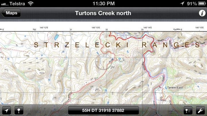
I am asking for advice on a supply of topographical maps in the best resolution possible...I understand that I can easily obtain 1: 250,000 but was looking for something that has better resolution.
I am considering Oziexplorer as a software base to work with these maps.
Any suggestions or assistance would be appreciated.
regards
xobazzip
I am new to this forum and playing around the edges.
I purchased a retreat wilderness property a few years back and have discovered lots of abandoned shafts and leads on the property.
Further research has uncovered a lot of Gold History in this area and recently a NEW Gold Mine has just been opened about 10 klms away from my property.
I have purchased a digital Gold Locations with way points for Australia and lo and behold it clearly points to a number of places on my property and many more surrounding it.
I am looking for a way to be able to "walk in" as this is a very remote area using a GPS and locate some of these old sites...I am sure I know some of them but there are more I haven't discovered as yet.
I have looked at most of the hand held GPS units and was not really happy with them as the screens are very small and not so full sunlight friendly (I have OLD EYES)
On the advice of a knowledgeable nerd I have purchased a cheap TOUGHBOOK with inbuilt GPS as these are used as field units for exploration etc and they have a large screen which work in full sunlight and are a touch pad.
I am asking for advice on a supply of topographical maps in the best resolution possible...I understand that I can easily obtain 1: 250,000 but was looking for something that has better resolution.
I am considering Oziexplorer as a software base to work with these maps.
Any suggestions or assistance would be appreciated.
regards
xobazzip
Last edited by a moderator:

")