Since this is a secret paper I might tell a few secrets them
") 1 Secret
1 Secret
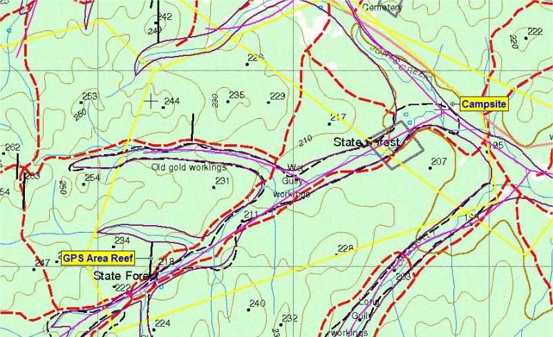
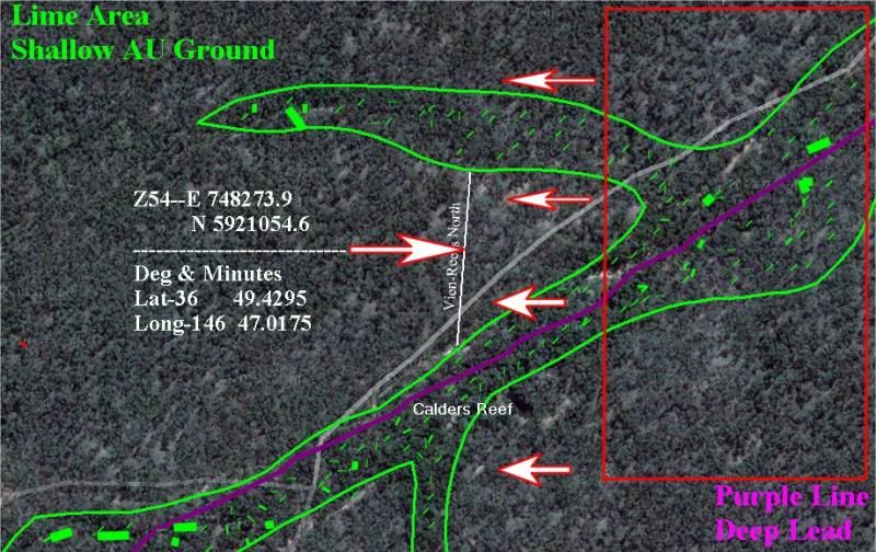
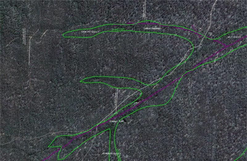
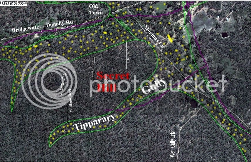
Do you know that the 1:50 000 Geomap were cartograph with the same Data as you use to create your own maps on GeoVic
Link
http://earthresources.efirst.com.au/categories.asp?cID=30
2 Secret (Come under one of the best keep Secrets 8) )
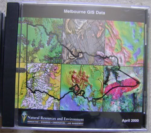
Back in the year 2000 they released a CD Data set and they were free and ever then not to many new that you could get this info as there was not to many prospectors out there that had a PC and if the didn't know one thing about Mapping Software like Ozi-Explorer and did you know that all the Data on these CD sets were in a format that Ozi could read and that data is what you all are using today to cartograph your own maps,,,,,These Data sets were put together many years before 2000 and I for one could not get another of the info on the goldfields at that time.
This is what the CD looked like, do you have them or one of them?
http://i54.photobucket.com/albums/g81/troopy_01/Website/VicGISDataCDFront.jpg
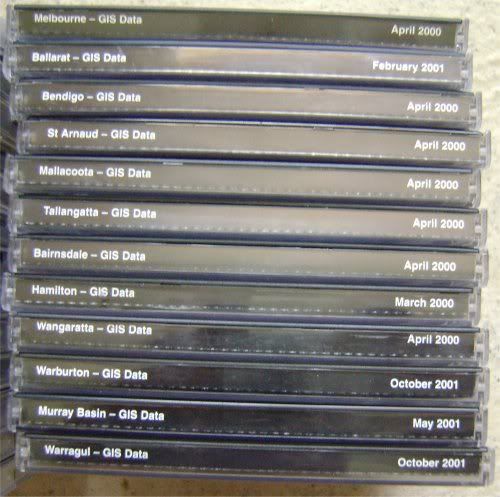
This was the set of 14 CD'S and were free to your door how good was that.
http://i54.photobucket.com/albums/g81/troopy_01/Website/VicGISDataCDSide.jpg
No longer a secret 8.( 8.( 8.( what have I done :lol: