Goldtarget
(AKA OldGT)
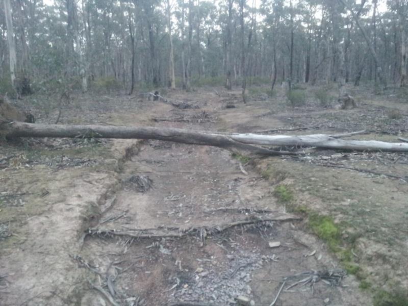
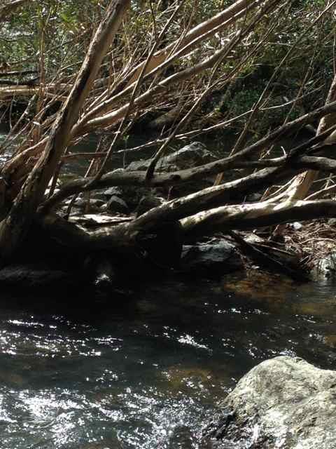
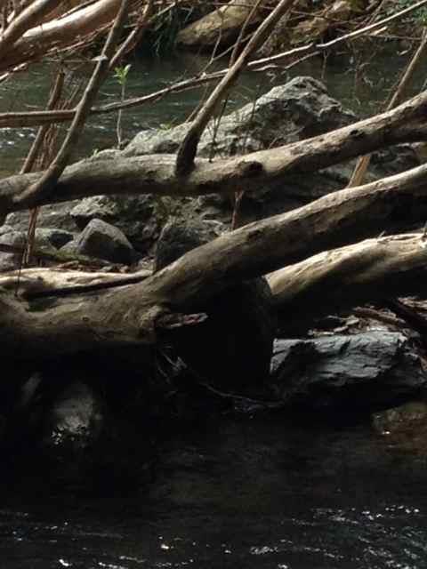
Just putting it out there for all the knowledgeable members, i need a little guidance. Spent an hour close to dark to dark sampling up a watercourse in a gold bearing area a gully if you want to call it that, between two rises that progress to hills as the gully widens and deepens. Now I've searched this area and there is no loaming, no workings, no diggings that I have been able to locate. I wouldn't go so far as to call it virgin ground but the old timers were too busy or unimpressed. Several hills and gullies over from this location are heavy workings of reef shedding, and puddling of shallow alluvial workings that have been reworked in the past, and present.
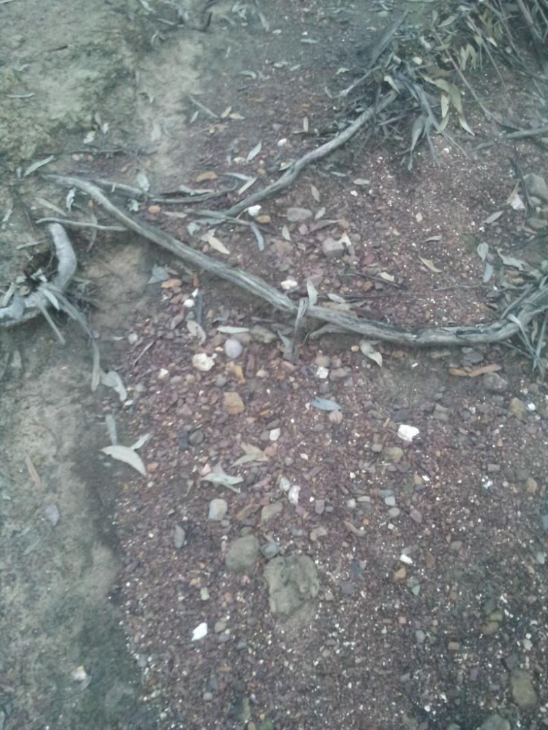
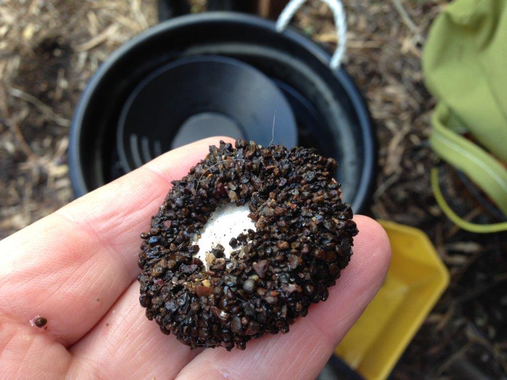
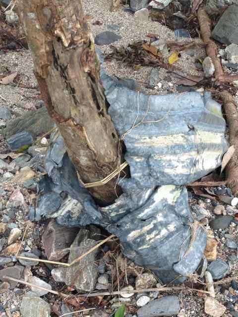
Now my sampling shows zero results up and downstream in this gully except in a 100m stretch where ironstone and quartz patches appear as gravel bars. But oddly the surrounding tertiary deposits on the surrounding topo are deep several feet deep in most places, but at this particular section running perpendicular to the flow is an extensive band of these gravels at the surface approx 2 metres in width but run uphill in both directions. Panning revealed fine gold in good quantities inside the current watercourse but i ran out of time to try the gravels above the watercourse.
So here's my question, is it possible that the current course has intersected an old watercourse, or can gravels like this appear in small pockets naturally occurring to look like one? And secondly without a nearby reef how else would this gold get here, or to be more precise can good really be pushed over a hillside with enough water force behind it? Obviously i need to spend some more time in recon to assess the situation but i wonder if anyone can add some input. I should note here my gut tells me its an old course, and not the first I've discovered in the area, but certainly its an odd location. Any input welcome.
")