


Martye77
Marty
Hi all
Im New to this forum and new to prospecting.
Was up at Kamarooka ( Rush Dam) last weekend and was wondering if anyone can shed some light on what I was looking at.
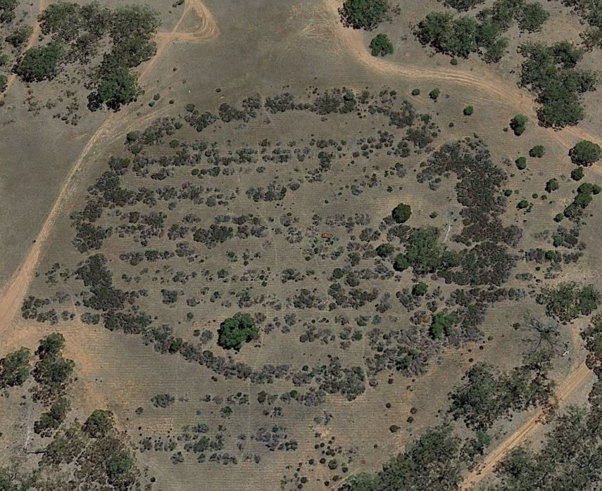
Man made obviously ploughed with old machinery, looks like tailings from Puddler or maybe the cyanide dump ?????
Regards Marty
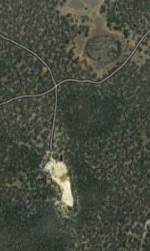
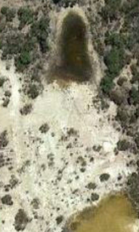
Im New to this forum and new to prospecting.
Was up at Kamarooka ( Rush Dam) last weekend and was wondering if anyone can shed some light on what I was looking at.
Man made obviously ploughed with old machinery, looks like tailings from Puddler or maybe the cyanide dump ?????
Regards Marty
")