- Joined
- Apr 11, 2015
- Messages
- 3
- Reaction score
- 0
I'm hoping somebody can help me out.
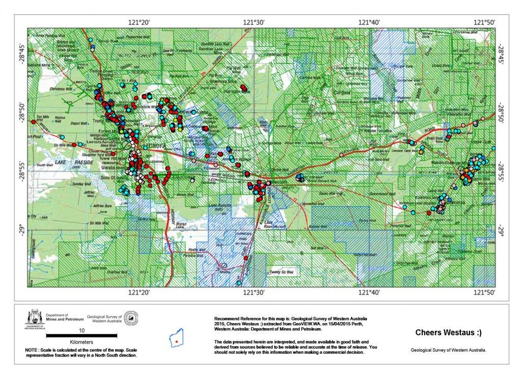
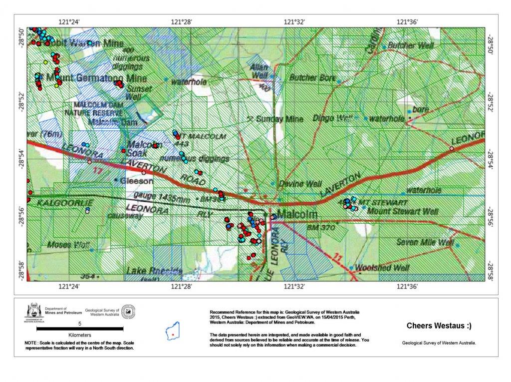
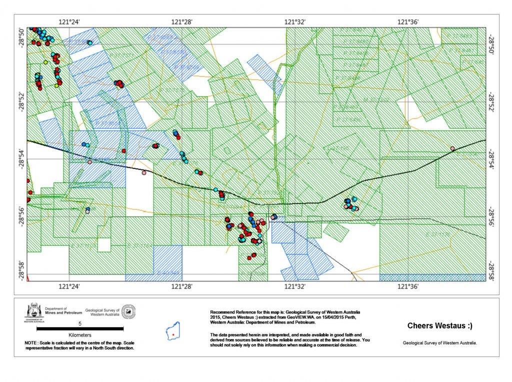
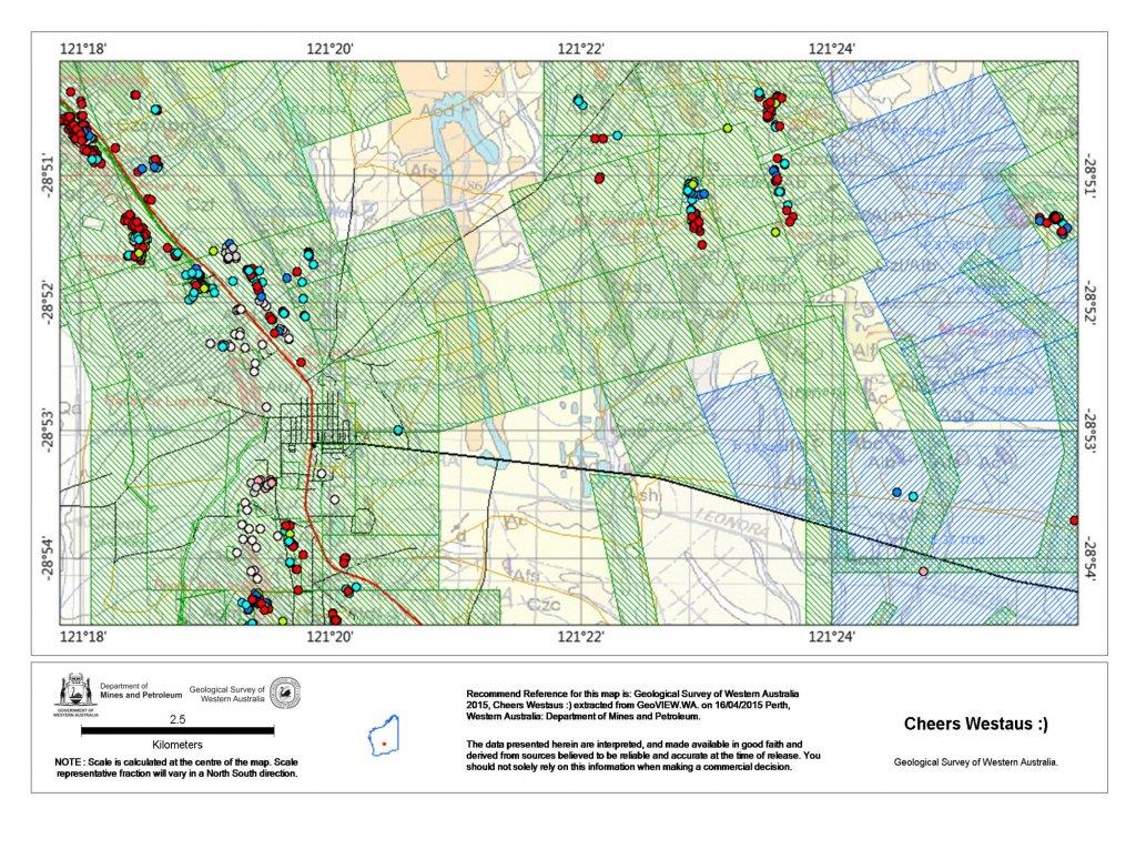
I would like to find a way of using tengraph so that I can plot and mark tenements on to paper maps so that I know that I'm not on somebody's claim, I have a Magellan explorist GPS 610 and I have bought a couple of topo maps of Laverton and Leonora.
I'm used to using a compass with a map and protractor from my army days but to my absolute confusion I found the maps are using GPS coordinates and I really don't have any idea how to read from the GPS and use them in conjunction with the map and from Tengraph.
I will be honest and say this system has blown the few brain cells I have, so any help on any of the above would be greatly appreciated.
Thanks in advance I hope.
")