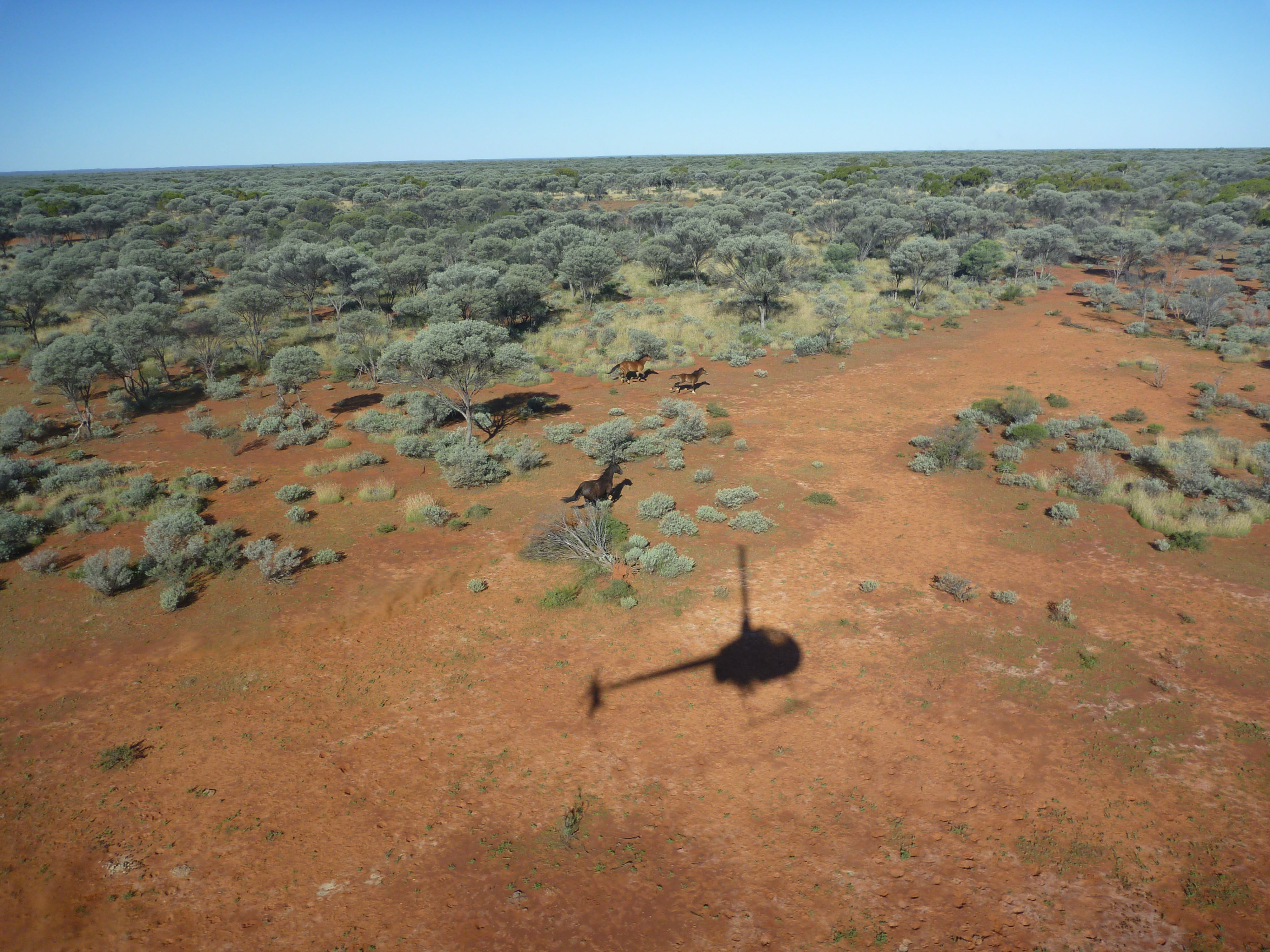
You may be disappointed. I am not sure HOW you intend to use these to aid your prospecting. I use images all the time in my work but I am unclear how you would use them to any great advantage in things like gold detecting (I use them for geology). Only a drone would give the resolution you need, and the nuggets are not usually lying on top of the ground. And if you are there with the detector you can see the geology....
If you just want them to locate yourself, Google Earth should work fine (I actually load images into my tablet and turn on GPS in it and watch where I am that way - if you put on tracking you can also see where you have been).
Alternatively you can get georeferenced and orthorectified aerial photography (i.e. taken by aircraft) but it costs an arm and a leg. I have rarely found that it gives me a lot more.
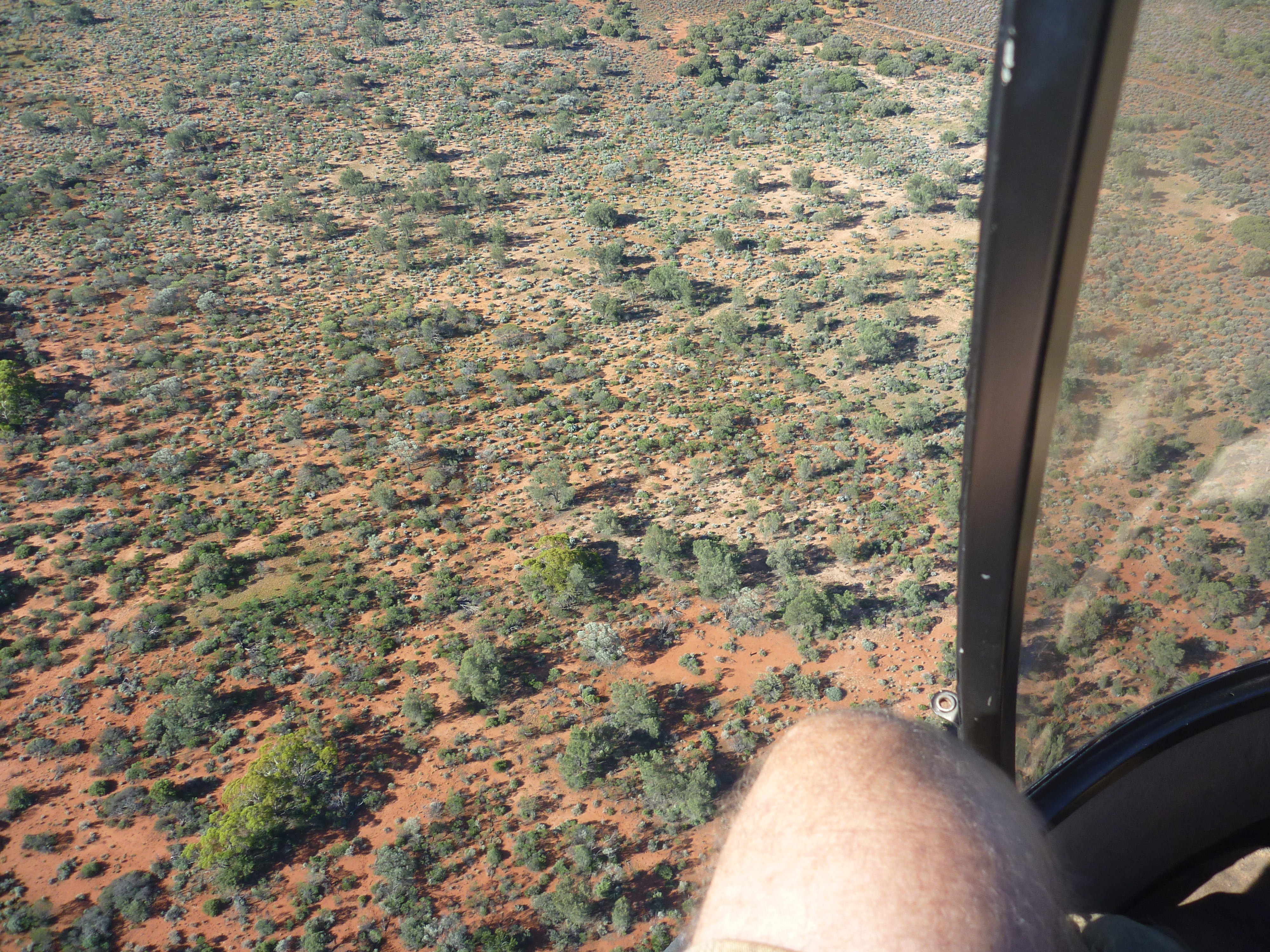
At $1000 plus per hour? You could buy a bloody good drone for the price of getting a chopper airborne and at least use it to broadly select where you want to detect based on geology, old workings and detector holes.
Nobody is fighting, just sharing. :Y: The point I was making with lidar is that the sensitivity is already so good that you don't need to go closer to the ground- if you can see a 4x4 track through the NE Tas forest cover. So good that you can map geological units such as sandstone beds using the topographic variation on a single hill-slope. Single photon laser is absolutely incredible.....
Also that one should not ignore public domain combined with one's own simple tools. Even exploration companies have to choose a limited number of types of survey to run in exploration, with multi-million dollar budgets (run everything and I would fire them).
Another thing is Aster which is free public domain over the entire country at a resolution good for many things - just reading how a single conglomerate bed was continuously mapped with Aster in the Pilbara:
 ..... :Y: