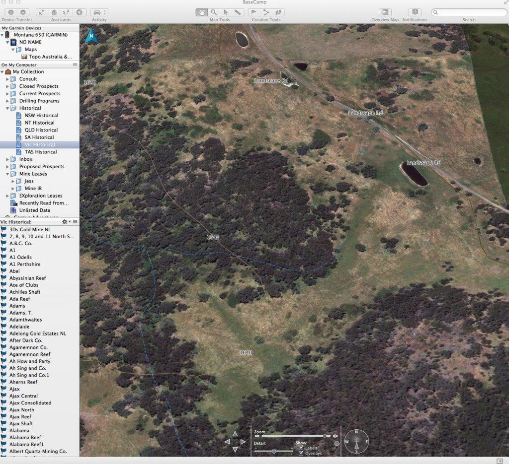
Basecamp demo
- Thread starter Village
- Start date


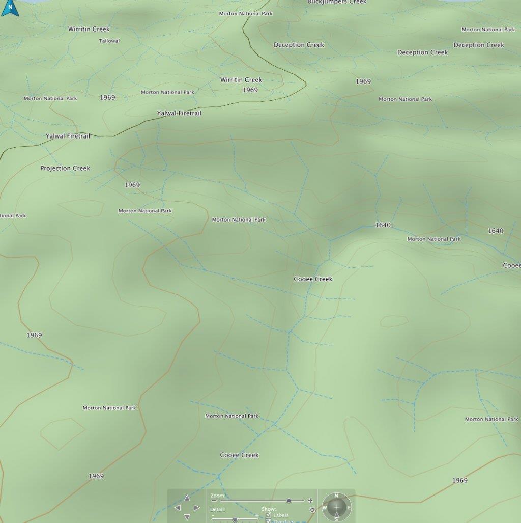
Hare_Twigga said:I never knew you could do that with Base Camp... Very Interesting! I've been using Oziexplorer mainly so I can overlay Geo and historic maps over GPS maps it works great with Garmin and most other GPS units.
HeadsUp said:can you get cached maps on that device that show where the EL's and ML's are ?
i have tried getting that to work with ESRI on my IPAd ( built in GPS ) but its not compatible with Apple IOS
i have heard there are new map releases coming through at the end of january that may have this feature for NSW though . fingers crossed
Village said:Harness what you have, get the most out of your desk top research, save you a fortune in fuel, unless you like the scenic drive that is
Enter your email address to join: