- Joined
- Mar 9, 2014
- Messages
- 488
- Reaction score
- 389
Hi Everyone
I have had this idea for sometime now and like a lot of things unless you just do it, then you may as well call me Gunna Westaus") I have cleared this by Harri, so thanks Mate for allowing me to give it a go !
I have cleared this by Harri, so thanks Mate for allowing me to give it a go !
At this stage I am looking for Expression of Interest from people who may be interested in attending a short course on Digital Mapping, this is WA based mapping. Some of the details I have that I can share are -
Location - Mandurah
When - Approx early December 2014
Time - 9.00 - 3.00pm approximately
Max Participants - Approx 10/12
Requirements needed - Laptop, otherwise you can not go through the training in real time. Happy to have you attend
Computer Skill level - Basic
What you will get training on -
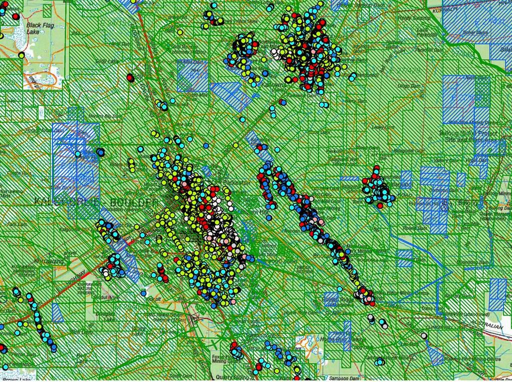
- Geoview WA
- Geomap WA
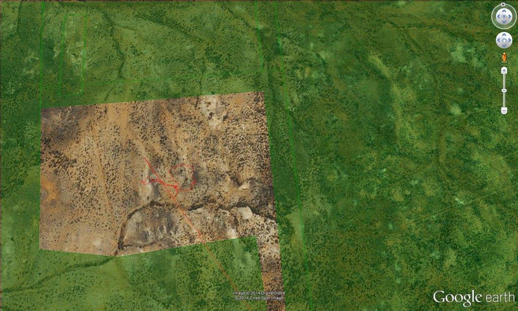
- Google Earth
- Tengraph (Touch on)
- How to overlay Tenements, Live, Pending, and even old areas
- Save Maps and print them, what to look for on topo and geo maps
- Setup a trip and save way points
- How to understand formats and what program can use what
and much, much more.
To take away and use you will get -
Digital copies of all WA maps Topograhical, Geographical and other specific data.
Software programs were applicable
Historical data and stories from the region and world PDF format relating to Gold Mining
Many other extras, checklists, first aid, survival guides.
Gigabytes of data that would take hours to download, but even longer to find it all.
Costs -
$75 per person
Includes all data on a USB drive ready to go and use no restrictions or limits applied. Save it to your desktop etc...
Light Lunch
Tea and Coffee
Internet connection on the day
Soft Drinks will be available to purchase on the day.
So if this sounds like something you are interested in and would like to attend, please register your interest below. No commitments at all at this stage. If you have any questions let me know, either below or via PM. It is a good chance to network a little and share some stores as well.
Fine Print - All of the information given and trained on is freely available on the internet. This course is to help you understand the programs and run them efficiently, so you can have more time prospecting.
This is also not a prospecting course in how to find gold, that is coming What this does is gives you the resources to find that special spot yourself.
Hopefully this is of interest and I look forward to your responses.
Westaus
I have had this idea for sometime now and like a lot of things unless you just do it, then you may as well call me Gunna Westaus
I have cleared this by Harri, so thanks Mate for allowing me to give it a go !At this stage I am looking for Expression of Interest from people who may be interested in attending a short course on Digital Mapping, this is WA based mapping. Some of the details I have that I can share are -
Location - Mandurah
When - Approx early December 2014
Time - 9.00 - 3.00pm approximately
Max Participants - Approx 10/12
Requirements needed - Laptop, otherwise you can not go through the training in real time. Happy to have you attend
Computer Skill level - Basic
What you will get training on -
- Geoview WA
- Geomap WA
- Google Earth
- Tengraph (Touch on)
- How to overlay Tenements, Live, Pending, and even old areas
- Save Maps and print them, what to look for on topo and geo maps
- Setup a trip and save way points
- How to understand formats and what program can use what
and much, much more.
To take away and use you will get -
Digital copies of all WA maps Topograhical, Geographical and other specific data.
Software programs were applicable
Historical data and stories from the region and world PDF format relating to Gold Mining
Many other extras, checklists, first aid, survival guides.
Gigabytes of data that would take hours to download, but even longer to find it all.
Costs -
$75 per person
Includes all data on a USB drive ready to go and use no restrictions or limits applied. Save it to your desktop etc...
Light Lunch
Tea and Coffee
Internet connection on the day
Soft Drinks will be available to purchase on the day.
So if this sounds like something you are interested in and would like to attend, please register your interest below. No commitments at all at this stage. If you have any questions let me know, either below or via PM. It is a good chance to network a little and share some stores as well.
Fine Print - All of the information given and trained on is freely available on the internet. This course is to help you understand the programs and run them efficiently, so you can have more time prospecting.
This is also not a prospecting course in how to find gold, that is coming
What this does is gives you the resources to find that special spot yourself. Hopefully this is of interest and I look forward to your responses.
Westaus